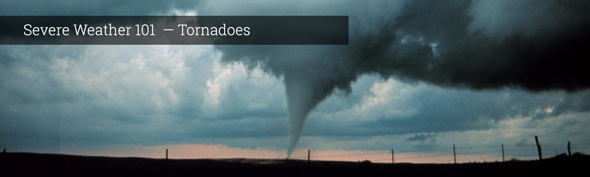
Severe Weather 101
Tornado Forecasting
Meteorologists at the NOAA Storm Prediction Center (SPC) issue daily forecasts, or convective outlooks, for organized severe thunderstorms over the U.S. based on current weather observations and forecast models. They also closely monitor areas they think are at a higher risk for tornadoes.
If conditions develop that are favorable for tornadoes, SPC forecasters issue a severe thunderstorm or tornado watch that typically lasts four to six hours. Local forecast offices, emergency managers, storm spotters and the general public are alerted to the possibility of severe weather.
Tornado warnings are issued by the local National Weather Service Forecast Office when a tornado has been sighted or indicated by weather radar. People in the warning area should seek appropriate shelter immediately.
What we do: Every year NSSL, Storm Prediction Center and other NWS forecasters work closely together in the NOAA Hazardous Weather Testbed for several weeks during the spring to assess new forecasting tools and discuss how those tools might be used in forecasting operations.
Spring Experiment 2018
Computer forecast models
Meteorologists often rely on massive computer programs called numerical weather prediction models to help them decide if conditions will be right for the development of tornadoes. These models are designed to calculate what the atmosphere will do at certain points over a large area, from the Earth's surface to the top of the atmosphere. Data is gathered from weather balloons launched around the globe twice each day, in addition to measurements from satellites, aircraft, and temperature profilers and surface weather stations. The models start with these current weather observations and attempt to predict future weather, including supercells, using physics and dynamics to mathematically describe the atmosphere's behavior. The predictions are usually output in text and graphics (mostly maps).
Ensemble forecasting
Computer models work great if the weather follows the rules we have set. When the weather breaks the rules, the predictions have trouble too. Another technique being developed is the concept of “ensemble forecasting.” Instead of using just one model, a supercomputer runs several models at one time – an ensemble. If each run looks similar, then we can assume the weather will likely follow the rules. If the runs look different in different places, then we understand that something in the atmosphere is causing the weather to misbehave.
Another technique is to run the same model several times with varying starting weather conditions. This approach results in a number of predictions that produce a range of possible future weather conditions.
Interpreting the model output is key, and takes a lot of practice. Forecasters use their experience, knowledge, persistence (what makes us think the weather is going to change from what it is now?) and eyes (looking out the window!) to fine-tune their forecasts. An important advancement has been made in model displays – the output used to be on black and white maps. Now forecasters can look at the output on their computer workstations and use different colors to understand more clearly what is happening.
What we do: NSSL leads the NOAA research program, Warn-on-Forecast, tasked to increase tornado, severe thunderstorm and flash flood warning lead times. Current warnings are largely based on observations, but this new effort will develop the ability to issue a warning based on a computer forecast. These new guidance tools will offer detailed information on the type, severity and probability of the weather threat before it is detected.
NSSL develops ensembles for very short-range (0 to 1 hour) forecasts of severe weather events. These ensembles ingest Doppler radar data into cloud-scale numerical models to provide improved predictions of thunderstorms and their associated severe weather.
NSSL scientists are collaborating on advanced numerical weather prediction models with high enough resolution to adequately depict individual thunderstorms across very large areas such as the entire continental United States. These models, which are known as convection-allowing models, or CAMs, are extremely valuable to forecasters because they provide information on storm types, which is important for understanding what kinds of hazards a storm may pose.
NSSL scientists are working to incorporate high-resolution radar observations into computer models to improve the short-term prediction of thunderstorms.
NSSL researchers and partners are working on models that predict individual thunderstorms. They use data from past tornado events, such as the Greensburg, Kansas tornado in 2007, to see if they can recreate the storm in a computer model so it produces a tornado. They hope someday to be able to create models forecast individual tornadoes.