If I drive a pickup or a large SUV, why can't I drive through flood water?
As little as 6” of fast moving water can sweep most any vehicle off a roadway. Besides, you can't determine the condition of the road bed under the water. The road could be washed out, or the water could be hiding a huge sinkhole.
Does a 100-year flood occur once every 100 years on average?
The 100-year flood is a climatic average, that is, there is a one percent chance a 100-year flood will happen in any given year.
Is flooding really that big of a deal?
Flooding causes more damage in the United States than any other severe weather related event, an average of $5 billion a year. Flooding can occur in any of the 50 states or U.S. territories at any time of the year.
How can I find out if I am in danger from a flood?
Flash Flooding. The NWS has developed impact-based warnings with flash flood warnings. These are shorter-fused warnings for events that occur within approximately six hours of the heavy rainfall. Flash flood warnings fall into the following classes:
Base—Used most of the time, when flash flood impact is possible
Considerable—Used rarely, when there are indications flash flooding capable of unusual severity or impact is imminent or ongoing and urgent action is needed to protect lives and property.
Catastrophic—Used exceedingly rarely, when a flash flood threat to life and catastrophic damage is occurring or is imminent, and floodwaters have risen or will rise to levels rarely if ever seen.
River Flooding. Once a river reaches flood stage, the flood severity categories used by the River Forecast Centers include minor flooding, moderate flooding, and major flooding. Each category has a definition based on property damage and public threat. This applies to large scale river flooding:
Minor Flooding—minimal or no property damage, but possibly some public threat or inconvenience
Moderate Flooding—some inundation of structures and roads near streams. Some evacuations of people and/or transfer of property to higher elevations are necessary.
Major Flooding—extensive inundation of structures and roads. Significant evacuations of people and/or transfer of property to higher elevations.
What were some of the worst floods in U.S. history?
The worst flood in U.S. history resulted from a dam break upstream from Johnstown, Pennsylvania, on May 31, 1889. Although ample warnings were given, they were disregarded by many townspeople, and 2,200 residents died.
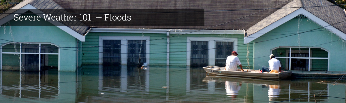
Hurricane Katrina, a Category 4 hurricane along the eastern LA-western MS coastlines in August 2005, resulted in severe storm surge damage (maximum surge probably exceeded 25 feet) along the LA-MS-AL coasts, wind damage, and the failure of parts of the levee system in New Orleans. Inland effects included high winds and some flooding in the states of AL, MS, FL, TN, KY, IN, OH, and GA. Preliminary estimate of well over $100 billion in damage/costs and more than 1200 fatalities.
On February 26, 1972, the Buffalo Creek Dam located in southern West Virginia collapsed sending a black wave of water through one coal mining town after another, and killing more than 100 people. 4,000 people were left homeless.
On July 31, 1976, a storm in northern Colorado dumped a foot of rain into the Big Thompson Canyon producing a raging torrent of water 19 feet high and resulting in 145 deaths.