
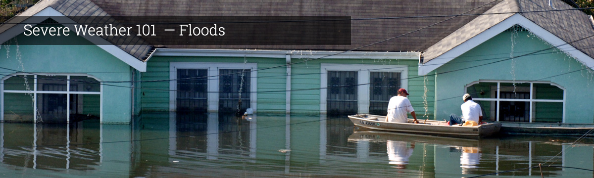
Severe Weather 101
Flood Types
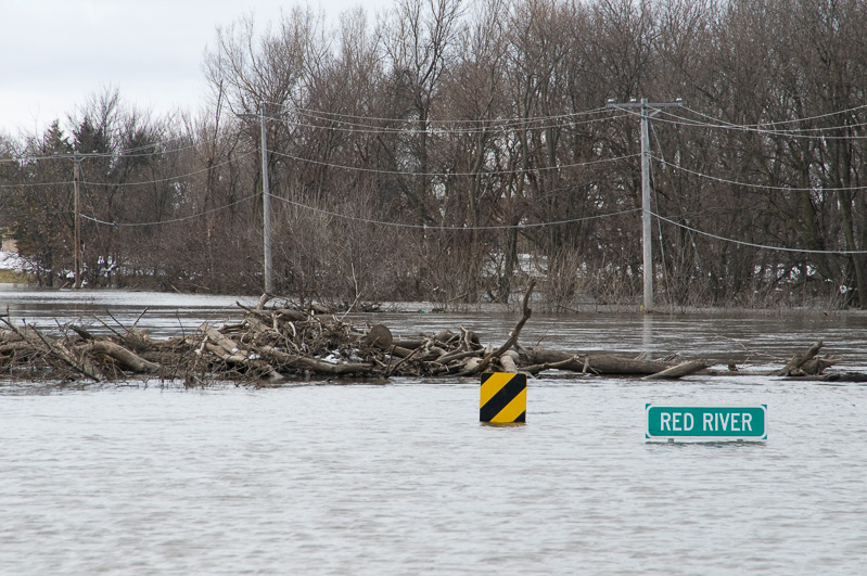
River flooding occurs when water levels rise over the top of river banks due to excessive rain from tropical systems making landfall, persistent thunderstorms over the same area for extended periods of time, combined rainfall and snowmelt, or an ice jam. [+]
A river flood occurs when water levels rise over the top of river banks due to excessive rain from tropical systems making landfall, persistent thunderstorms over the same area for extended periods of time, combined rainfall and snowmelt, or an ice jam.
A coastal flood, or the inundation of land areas along the coast, is caused by higher than average high tide and worsened by heavy rainfall and onshore winds (i.e., wind blowing landward from the ocean). Places like Charleston, South Carolina, and Savannah, Georgia, experience impacts from shallow coastal flooding several times a year because of coastal development and lower elevation.
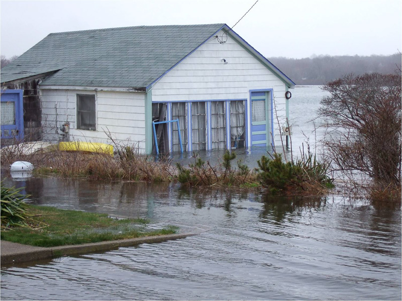
Coastal flooding is caused by higher than average high tide and worsened by heavy rainfall and onshore winds (i.e., wind blowing landward from the ocean). [+]
Storm surge is an abnormal rise in water level in coastal areas, over and above the regular astronomical tide, caused by forces generated from a severe storm's wind, waves, and low atmospheric pressure. Storm surge is extremely dangerous, because it is capable of flooding large coastal areas. Extreme flooding can occur in coastal areas particularly when storm surge coincides with normal high tide, resulting in storm tides reaching up to 20 feet or more in some cases. Along the coast, storm surge is often the greatest threat to life and property from a hurricane. In the past, large death tolls have resulted from the rise of the ocean associated with many of the major hurricanes that have made landfall. Hurricane Katrina (2005) is a prime example of the damage and devastation that can be caused by surge. At least 1500 persons lost their lives during Katrina and many of those deaths occurred directly, or indirectly, as a result of storm surge.
What we do: Coastal and Inland Flooding Observation and Warning (CI-FLOW) is a collaborative prototype real-time system that predicts integrated water level in North Carolina. CI-FLOW captures the complex interaction between rainfall, river flows, waves, tides, and storm surge, and how they will impact ocean and water levels. CI-FLOW is being tested in real-time when coastal storms approach North Carolina. NOAA NWS forecasters have access to CI-FLOW during these events to provide feedback on how well the CI-FLOW system estimates integrated water level. NSSL, with support from the NOAA National Sea Grant leads the unique interdisciplinary team of federal, state, university and private partners.
Inland flooding occurs when moderate precipitation accumulates over several days, intense precipitation falls over a short period, or a river overflows because of an ice or debris jam or dam or levee failure. Hurricane Floyd (1999), aided by Tropical Storm Dennis (1999), caused widespread severe flooding that caused the majority of the $3 to 6 billion in damage reported after those storms.

Areas damaged by wildfires are particularly susceptible to flash floods and debris flows during rainstorms. Rainfall that is normally absorbed by soil and vegetation can run off almost instantly, causing creeks and drainage areas to flood much earlier and with higher magnitude than normal. [+]
A flash flood is caused by heavy or excessive rainfall in a short period of time, generally less than six hours. Flash floods are usually characterized by raging torrents after heavy rains that rip through river beds, urban streets, or mountain canyons. They can occur within minutes or a few hours of excessive rainfall. They can also occur even if no rain has fallen, for instance after a levee or dam has failed, or after a sudden release of water by a debris or ice jam.
Areas damaged by wildfires are particularly susceptible to flash floods and debris flows during rainstorms. Rainfall that is normally absorbed by soil and vegetation can run off almost instantly, causing creeks and drainage areas to flood much earlier and with higher magnitude than normal. Heavy rainfall on recently burned areas can also mobilize sediments and cause a much more destructive debris flow.
What we do: NSSL supplied real-time radar mobile radar data during rain events in southern California where the local NWS radar beam is blocked by the terrain. The effort was part of the NOAA/USGS demonstration flash flood and debris flow early warning system to help forecasters improve flash flood and debris flow warnings in areas damaged by wildfires. The project moved to southeastern Colorado with the goal of providing better precipitation estimates and forecasts of flash flooding, while also obtaining unique hydrologic observations on the burned area.