
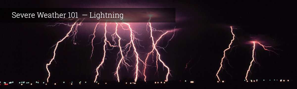
Severe Weather 101
Lightning Forecasting
Forecasters can and do forecast the likelihood of intense lightning activity. However, it is impossible to forecast individual strikes because lightning is so widespread, frequent and random. Our understanding of cloud electrification processes is still incomplete, but we do know some of the ingredients that a storm needs in order to become electrified and potentially produce lightning. There are two big methods used to look at these ingredients: (1) observation of the current weather, and (2) computer forecast models of the future weather.
Observations of Current Weather
Scientists use characteristics of the current weather in order to forecast if and where a storm is likely to produce lightning in the future. The current weather is very important to forecasting lightning in the next hour. In order to do this well, there are many things that we need to know about the storm. Has it produced lightning before? Is it currently growing in size? Does the storm reach altitudes where temperatures are below freezing? How is the storm moving? How old is the storm? We can compare this type of information to cases that have happened before and then predict the probability of if and the general area where a storm might produce lightning. Scientists make a probabilistic prediction of lightning because weather is a chaotic system, so one small change in the storm or the surrounding environment can make a big difference.
Computer Forecast Models
To determine whether or not a storm is likely to produce lightning over an hour from now, scientists need to use a computer forecast model. Unfortunately, it is still very computationally expensive to directly simulate how lighting behaves, like where it starts and how it branches. NSSL scientists do use this type of simulation in research, but use other things for forecasting lightning. Similar features that are useful in predicting lightning from the current weather can be used in an existing weather forecast model. If a storm exists in a weather forecast model, how large is it? Does it contain both ice particles and water droplets? How much ice does it contain that might be carrying charge? Is there a lot of air moving rapidly upwards within the storm? With this sort of information we can use statistical relationships to predict the probability of lightning well in the future!
What we do: NSSL and partners are working on an experimental forecast model that predicts the maximum lightning threat every hour.
NSSL researchers are using a 3-D cloud model to investigate the full life-cycle of thunderstorms. The model has shown how graupel or other droplets could help form regions of lower charge.
NSSL researchers are using machine learning to develop statistics to produce the best possible prediction of lightning in experimental computer forecast models.