Severe Weather 101
Thunderstorm Forecasting
The NOAA Storm Prediction Center (SPC) located in Norman, OK is the office that monitors and forecasts the potential for severe weather over the 48 continental United States. The information provided by SPC will give you critical information concerning the threat of severe weather at your location.
The Storm Prediction Center provides:
You can learn more about SPC products and services from NWS Jetstream.
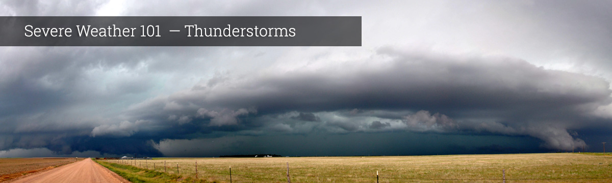
Local NWS forecast offices monitor and forecast severe weather for their counties of responsibility. These offices issue warnings when hazardous weather develops.
What we do: SPC forecasters, NWS forecasters, NSSL researchers and other groups work together to develop and evaluate the best thunderstorm forecasting tools, including computer forecast models and new forecasting techniques.
Computer forecast models
Meteorologists often rely on massive computer programs called numerical weather prediction models to help them decide if conditions will be right for the development of thunderstorms. These models are designed to calculate what the atmosphere will do at certain points over a large area, from the Earth's surface to the top of the atmosphere. Data is gathered from weather balloons launched around the globe twice each day, in addition to measurements from satellites, aircraft, ships, temperature profilers and surface weather stations. The models start with these current weather observations and attempt to predict future weather using physics and dynamics to mathematically describe the atmosphere's behavior. The predictions are usually output in text and graphics (mostly maps).
Ensemble forecasting
Computer models work great if the weather follows the rules we have set. When the weather breaks the rules, the predictions have trouble too. Another technique being developed is the concept of “ensemble forecasting.” Instead of using just one model, a supercomputer runs several models at one time – an ensemble. If each run looks similar, then we can assume the weather will likely follow the rules. If the runs look different in different places, then we understand that something in the atmosphere is causing the weather to misbehave.
Another technique is to run the same model several times with varying starting weather conditions. This approach results in a number of predictions that produce a range of possible future weather conditions.
Interpreting the model output is key, and takes a lot of practice. Forecasters use their experience, knowledge, persistence (what makes us think the weather is going to change from what it is now?) and eyes (looking out the window!) to fine-tune their forecasts. An important advancement has been made in model displays – the output used to be on black and white maps. Now forecasters can look at the output on their computer workstations and use different colors to understand more clearly what is happening.
What we do: NSSL leads the NOAA research program, Warn-on-Forecast, tasked to increase tornado, severe thunderstorm, and flash flood warning lead times. Current warnings are largely based on observations, but this new effort will develop the ability to issue a warning based on a computer forecast. These new guidance tools will offer detailed information on the type, severity, and probability of the weather threat before it is detected.
NSSL develops ensembles for very short-range (0 to 1 h) forecasts of severe weather events. These ensembles ingest Doppler radar data into cloud-scale numerical models to provide improved predictions of thunderstorms and their associated severe weather.
NSSL scientists are collaborating on advanced numerical weather prediction models (Convection Allowing Models, or CAMs), testing new approaches that add physical processes to existing models to improve model performance and accuracy. View real-time data from CAMs→
NSSL scientists are working to incorporate high-resolution radar observations into computer models to improve the short-term prediction of thunderstorms.
Every year NSSL and the Storm Prediction Center work closely together in the Hazardous Weather Testbed for 6-8 weeks during the spring to assess new forecasting models and discuss their effect on forecasting operations.
Satellites
Satellites are critical in short-term forecasting. Satellite images can give an early indication of a developing thunderstorm by showing where cumulus clouds are forming. Cumulus clouds grow rapidly into cumulonimbus clouds if conditions are right, and you can track their growth using satellite images. Satellites also give clues about what type of thunderstorm may be developing.
What we do: NSSL collaborates with other groups to develop satellite products that forecast the behavior and movement of thunderstorms.