Research Tools: Testbeds
Collaborative testbed projects shorten the transition time from meteorological research to useful operational forecasting tools. NSSL hosts the NOAA Hazardous Weather Testbed and the NOAA National Weather Radar Testbed. NSSL researchers also collaborate with the Developmental Testbed Center, the Satellite Proving Ground, and the NOAA Hydrometeorology Testbed.
Hazardous Weather Testbed
NOAA's Hazardous Weather Testbed (HWT) is jointly managed by NSSL, the Storm Prediction Center (SPC) and the NOAA National Weather Service Norman Forecast Office (OUN) inside the National Weather Center, on the University of Oklahoma campus. The HWT is designed to accelerate the transition of promising new meteorological insights and technologies into advances in forecasting and warning for hazardous mesoscale weather events throughout the United States.
Bite-Sized Science: Hazardous Weather Testbed
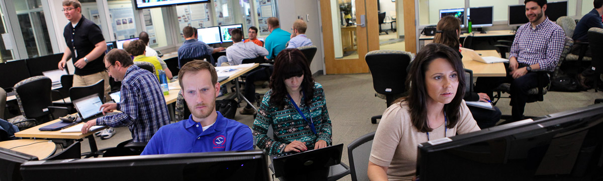
At the height of the spring severe weather season, the NOAA Hazardous Weather Testbed hosts multiple experiments to evaluate the operational utility of new science, technology and products. Each spring, forecasters and researchers from across the country and around the world come together to sit side-by-side to help solve forecasting problems together. Watch on Youtube
National Weather Radar Testbed
NOAA's National Weather Radar Testbed (NWRT) is a facility that supports testing and development of new radar technology in Norman, Oklahoma. Currently, the radar housed at the facility, dubbed the Advanced Technology Demonstrator, or ATD, is the first full-scale, S-band, dual-polarization phased array radar built from the ground up and designed specifically for use as a weather radar.
The NWRT was established in 2003 to demonstrate the potential of a multi-function phased-array radar (MPAR) to simultaneously perform aircraft tracking, wind profiling, and weather surveillance. The original SPY-1A phased array radar was decommissioned in 2016, and the ATD installed in its place.
The advanced capabilities of the NWRT could lead to better warnings for severe weather.
Bite-Sized Science: Advanced Technololgy Demonstrator
The Advanced Technology Demonstrator, or ATD, is the first full-scale, S-band, dual-polarization phased array radar built from the ground up and designed specifically for use as a weather radar. Watch on Youtube
Testbed Partnerships
Developmental Testbed Center
Tools developed by the Developmental Testbed Center (DTC) are used in HWT Spring Experiments to help evaluate model performance.
Satellite Proving Ground
The Satellite Proving Ground Experiments in the HWT provide an operational demonstration of new capabilities, algorithms, and products from the GOES-R and JPSS series of satellites. This evaluation focuses on gauging the effectiveness of the satellite training, tests forecaster understanding of GOES and JPSS data, examines the usability and effectiveness of the visualizations in AWIPS, and identifies best practices for integrating the new data into operations. The inclusion of JPSS products introduces and familiarizes users with newly developed products associated with the next generation polar-orbiting satellite system. Feedback received during GOES and JPSS product demonstrations are included within training initiatives in coordination with the NWS Warning Decision Training Division, and within recommendations for GOES and JPSS program scientists for research, future product development, and visualizations. The Proving Ground is a collaborative effort between the GOES and JPSS Program Offices, NOAA Cooperative Institutes, NASA, NWS Storm Prediction Center and Weather Forecast Offices, National Centers for Environmental Prediction, and NOAA Testbeds across the country.
Hydrometeorology Testbed (HMT)
NSSL partners with the Hydrometeorology Testbed (HMT) to conduct research on heavy rainfall, flooding, and winter weather, and foster transition of scientific advances and new tools into forecasting operations. HMT's outputs support efforts to improve the communication of flooding, winter storm, and road weather threats.