
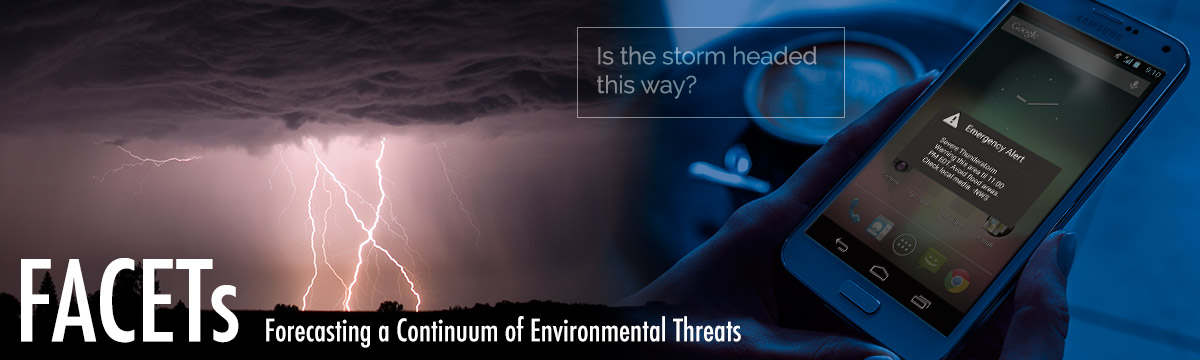
FACETs
Forecasting a Continuum of Environmental Threats (FACETs) is a proposed next-generation weather forecast and warning framework for all weather hazards. This framework will be modern, flexible, and designed to communicate clear and simple hazardous weather information to better serve the public.
FACETs supports NOAA's Weather-Ready Nation initiative to build community resilience in the face of increasing vulnerability to extreme weather and water events.
Video: FACETs
FACETs Severe: NSSL’s Research
What makes NOAA National Severe Storms Laboratory's FACETs research meaningful is the integration of physical, social, and behavioral sciences. Social and behavioral science will strengthen the link between each facet. Leveraging principles of user-centered design and stakeholder engagement, social scientists provide a voice for the needs of key partners like emergency managers and broadcast meteorologists. Social scientists create a pathway for operations and applications to inform NSSL research priorities.
In addition, research is conducted to identify the needs of those most likely to suffer the worst consequences of severe weather, such as individuals living in less structurally sound homes and those whose primary language is not English. Anthropology, for example, might reveal important insights into the decision-making process of the forecaster or the education process of the public. Similar applications can be said of economics, human factors, sociology, communication, human geography, political science, linguistics, and law.
Goals:
- Improved decision support services
- More equitable communication and outreach
- Hazard probabilities that are meaningful, understandable, usable, and empowering for the public
Facet #1: Hazard Information
FACETs will allow National Weather Service forecasters to improve upon standard weather watches and warnings by delivering detailed hazard information through the use of “threat grids” that are monitored and adjusted as new information becomes available. Hazard information will be based on a rapidly updating high-resolution stream of weather data fed by current and future scientific tools.
Forecasters can interpret and communicate weather threats along with the uncertainty associated with the predicted trend. Decision-makers requiring longer lead times, such as hospitals and large venues, may set their threat threshold based on their specific needs. Threat grids will also support the development of new products that address high-impact but non-severe weather events such as lightning and strong winds that are below-severe limits.
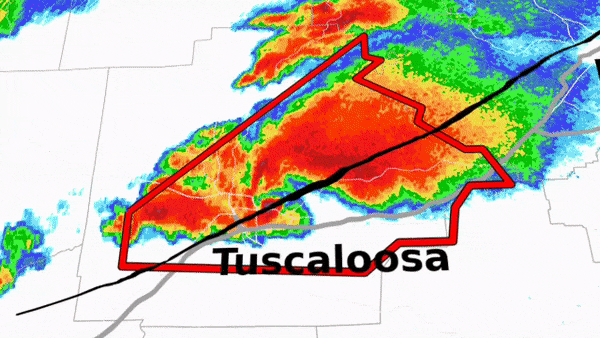
FACETs will allow National Weather Service forecasters to deliver detailed hazard information through the use of “threat grids” that are monitored and adjusted as new information becomes available.
Facet #2: Observations and Guidance
The FACETs framework will adjust to advances in satellite, radar and surface observation technology that already aid forecasters' decisions. It will also introduce new computer-model predictions of storm-specific hazards such as tornadoes, large hail, and extreme local rainfall from NOAA’s experimental Warn-on-Forecast research project. Forecasters will receive real-time statistical projections of a storm's longevity, intensity and hazards from NSSL's database of climatological storm-scale behavior. FACETs intends for grid-based threat information to be linked from the NOAA NWS Storm Prediction Center broad national and regional outlooks, watches and discussions, flowing downstream into local NOAA National Weather Service (NWS) forecast products and warning grids.
Facet #3: Forecaster Decisions
Forecasters are essential to the warning process, and they will be trained to understand and use the new probabilistic tools in support of forecast and warning decisions. FACETs will also explore the decision-making process of the forecaster, how National Weather Service core partners and the public grasp the information, and ways the messages could be crafted, so they respond safely.
Facet #4: Tools
NSSL’s prototype tool was developed to allow researchers to quickly incorporate new ideas, applications and research concepts before the transition to operations. The Probabilistic Hazard Information, or PHI, Prototype tool, enables NWS forecasters to create PHI for multiple hazards with live data or in archive mode examining high-impact events.
Concepts proven in the PHI Prototype are then implemented and further tested in NOAA Global Systems Lab's “Hazard Services” software, an application that serves as an operational channel for PHI. Since storm-scale decisions need to be made quickly, Hazard Services will include tools for rapid grid interactions. An NWS forecaster could draw hail, wind, and tornado threat swaths all within one “supercell app.”
Facet #5: Usable Output
Under FACETs, the NWS will still issue legacy products such as watches and warnings, but the products will include more impact-specific information, including urgency, confidence, and variability. All grid-based threat forecast information would be easily transferable to various geographic formats to streamline and enhance decision support services.
Facet #6: Effective Response
Forecasters cannot anticipate how many people are exposed to a threat and how they will respond if faced with one. FACETs will find ways to fine-tune threat output in a way that people will choose to implement in their safety plan. Any progress made in the previous five facets would be irrelevant, wrong, or ineffective without peoples’ responses. This is where social and behavioral sciences integration will have the greatest impact, although contributions of these disciplines are essential in all facets of the threat forecasting process (see below). Likewise, FACETs development work will involve officials in emergency management, law enforcement, broadcast media, public health, and other disciplines to ensure your response to hazardous weather is the most effective response.
Facet #7: Verification
Threat forecasts and warnings will be placed on the same geospatial grid to improve methods used to verify forecasts and warnings. Metrics such as false alarm duration, false alarm area, and site-specific lead-time and end-time could provide greater insight into the effectiveness of threat forecasts and the threat forecasting process. In addition to verifying forecasts and warnings, this facet also includes verifying the public understanding of and response to current forecasts and warnings and new threat information.