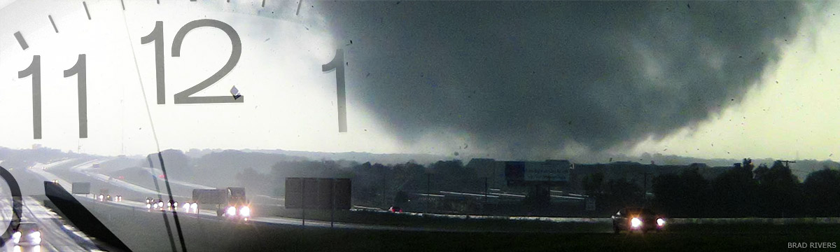
Warn-on-Forecast
Warn-on-Forecast is a National Oceanic and Atmospheric Administration research project that aims to increase lead time for tornado, severe thunderstorm, and flash flood warnings. Meteorologists and their tools are good at identifying which days will see severe weather in different regions. But warnings, which serve as an immediate call to action for specific storms affecting specific locations, are usually issued within minutes of local impacts. Warnings have traditionally been based on detection or indicators of severe hazards using National Weather Service (Doppler radars, and trends in yearly-averaged tornado warning lead time reveal this “warn-on-detection” approach has reached a plateau. As one of NOAA’s strategic goals, increasing lead time is intended to reduce loss of life, injury, and damage to the economy.
Warn-on-Forecast Fact Sheet, a brief overview of the WoF project, in layperson's language (.pdf, 1.4 MB)
Bite-Sized Science: Warn-on-Forecast will help forecasters issue hazardous weather notifications out to an hour in advance. Watch on YouTube
How to increase warning lead time
The Warn-on-Forecast project proposes one promising way to increase warning lead time -- to harness high-resolution numerical weather prediction models and high performance computing, and to embrace the use of probabilistic information. By 2016, the project had created a rapidly-updating, high-resolution ensemble model system, the Warn-on-Forecast System. WoFS is designed to make probabilistic predictions of individual thunderstorms out to six hours in advance, and WoFS updates those forecasts every half hour using the latest radar and satellite data as a guide.
Groundbreaking
The experimental WoFS introduces several unique technologies. It is the first model system to perform rapid data assimilation of radar and satellite in real time, adding new information to the model every five to 15 minutes. The forecast graphics from WoFS have been designed using feedback from NWS operational forecasters. And the forecasts are displayed at a five-minute resolution. This allows forecasters to view movie-like loops of the model simulations looking for storm-scale details.
Strategy for real-time WoFS
To deliver such rich forecast information requires a lot of computing power, so this early version of WoFS is run over a limited region of the country, about the size of the four corners states (Utah, Colorado, Arizona, and New Mexico), and is only run on select days of interest or during organized experiments. However, the model domain can be moved around to anywhere in the lower 48 United States that severe weather is expected.
Initial experiments and user input
Every year since 2016, NSSL researchers have run WoFS in real time for experiments in NOAA’s Hazardous Weather Testbed, including for activities such as the NSSL Spring Forecasting Experiment and Flash Flood and Intense Rainfall Experiment. During these experiment periods, the model is also made available to NWS forecasters who may use the WoFS web viewer in their real-time operations. In fact, a group of nine NWS Southern Region Forecast Offices in Oklahoma, Texas, and New Mexico performed a formal two-year study of WoFS use in their operations, and NWS national centers such as the Storm Prediction Center and Weather Prediction Center have formed steady partnerships with the research group. These interactions have led to documented cases showing WoFS helped offices gain lead time for warnings and other “heads-up” actions in advance of tornadoes, hail storms, damaging winds, and flash floods.
Access to WoFS forecasts
The Warn-on-Forecast group at NSSL still has many research initiatives to improve WoFS during the coming decade, while we will also work with the National Weather Service to move WoFS toward regular operational use. You can explore WoFS case studies, or even perform one of your own using the links below.
Case Studies | Real-time Data Viewer | Legacy Web Viewer (2018-2021)