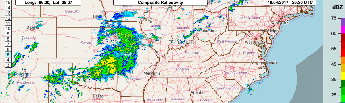
Multi-Radar/Multi-Sensor System (MRMS)
The MRMS system was developed to produce severe weather, transportation, and precipitation products for improved decision-making capability to improve hazardous weather forecasts and warnings, along with hydrology, aviation, and numerical weather prediction.
MRMS is a system with fully-automated algorithms that quickly and intelligently integrate data streams from multiple radars, surface and upper air observations, lightning detection systems, satellite observations, and forecast models. Numerous two-dimensional multiple-sensor products offer assistance for hail, wind, tornado, quantitative precipitation estimations, convection, icing, and turbulence diagnosis.
Current work:
- Ingest of WSR-88D and Canadian radar networks along with commercial and U.S. Terminal Doppler Weather Radars (TDWRs)
- Advanced CONUS 4D dual-polarization and reflectivity mosaics
- Initial 4D dual-pol Hydrometeor CONUS mosaic for model data assimilation
- Advanced dual-polarization quality control of radar data and hydrometeor classification for more accurate precipitation type and rate products
- Advanced precipitation gauge observation quality control
- Advancements to surface precipitation estimations with evaporation corrections and radar gap-filling techniques
- Full product suites for Alaska, Hawaii, Caribbean, and Guam with initial connections to Mexican and Caribbean radars
- Resolution of 1-km x 2-min update cycle with 3D mosaics at 31 vertical levels
- Severe weather and aviation related products per FAA NextGen requirements
- Initial road transportation and advanced winter weather products
- Evaluating and advancing dual-pol algorithms specific to FAA NextGen requirements
- Evaluating and advancing machine learning and artificial intelligence techniques along with product development within a cloud computing environment
MRMS is being used to develop and test new Federal Aviation Administration (FAA) NextGen products in addition to advancing techniques in quality control, icing detection, and turbulence in collaboration with the National Center for Atmospheric Research, the University Corporation for Atmospheric Research, and Lincoln Laboratories.
MRMS was deployed operationally in 2014 at the National Center for Environmental Prediction (NCEP). All of the 100+ products it produces are available via NCEP to all of the WFOs, RFCs, CWSUs and NCEP service centers. In addition, the MRMS product suite is publicly available to any other entity who wishes to access and use the data. Other federal agencies that use MRMS include FEMA, DOD, FAA, and USDA.
MRMS is the proposed operational version of the WDSS-II and NMQ research systems.
The MRMS system was jointly developed in cooperation with the Cooperative Institute for Severe and High-Impact Weather Research and Operations (CIWRO) (formerly CIMMS), and the University of Oklahoma retains the right to commercially license the software. Several leading weather information companies have previously licensed the MRMS system from the University of Oklahoma for commercial use, although the software is available for government at no cost.