
Research Tools: Forecast
Warn-on-Forecast
The Warn-on-Forecast (WoF) research project will deliver a set of enabling technologies for FACETs on a variety of space and time scales. WoF aims to create computer-model projections that accurately predict storm-scale phenomena such as tornadoes, large hail, and extremely localized rainfall. If Warn-on-Forecast is successful, forecasters will be provided with reliable guidance for issuing tornado, severe thunderstorm, and flash flood warnings up to an hour before they strike.
- WoFS Forecast Viewer
- NSSL Fact Sheets: Warn-on-Forecast (.pdf, 1.4 MB)
NSSL CAMS
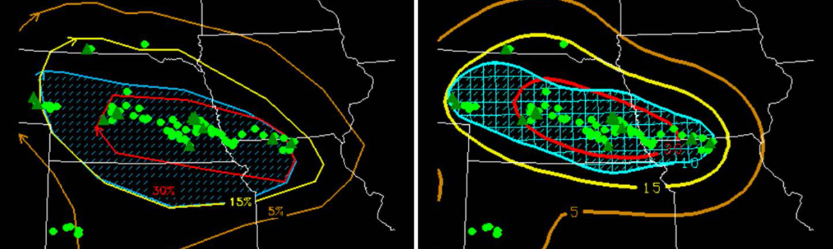
Recent advances in computing technology have enabled the use of numerical weather prediction models with high enough resolution to adequately depict individual thunderstorms across very large areas such as the entire continental United States. These models, which are known as convection-allowing models, or CAMs, are extremely valuable to forecasters because they provide information on storm types, which are strongly related to expected hazards. Despite the scientific advances enabled by CAMs, many unresolved research questions need to be addressed to fully exploit the information from CAMs and provide reliable probabilistic information to forecasters. A large amount of NSSL research is devoted to these areas.
Hazardous Weather Testbed
NOAA's Hazardous Weather Testbed (HWT) is jointly managed by NSSL, the Storm Prediction Center (SPC) and the National Weather Service Oklahoma City/Norman Weather Forecast Office (OUN) on the University of Oklahoma campus inside the National Weather Center. The HWT is designed to accelerate the transition of promising new meteorological insights and technologies into advances in forecasting and warning for hazardous mesoscale weather events throughout the United States.
WoF Tornado Threat Prediction
WoF Tornado Threat Prediction (WoF-TTP) is a research project to develop a 0–1 hour, 1-km resolution suite of highly detailed computer models to forecast individual convective storms and their potential tornadoes. Target future average lead-time for tornado warnings via WoF-TTP is 40–60 minutes. The technology and science developed to achieve the WoF-TTP goal will likely improve the prediction of other convective weather threats such as large hail and damaging winds.