
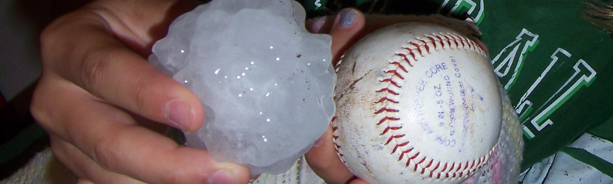
NSSL Research: Hail
Hail is a form of precipitation that occurs when updrafts in thunderstorms carry raindrops upward into extremely cold areas of the atmosphere where they freeze into ice. Hail can cause billions of dollars of damage to structures, crops and livestock. NSSL focuses research efforts towards the prediction and detection of hail and hailstorms to give those in the path of the storm enough time to seek shelter and protect their property.
Hail Research Areas
Dual-Polarization Radar
NSSL was a pioneer in dual-polarization radar technology, now installed on NWS radars across the U.S. Forecasters use dual-polarization technology to clearly identify rain, hail, snow or ice pellets. This gives forecasters more confidence to accurately assess weather events because they will have more information to forecast what kind of precipitation there will be and how much to expect.
Hail Detection
NSSL scientists are developing algorithms that will produce estimates of whether the precipitation is falling in liquid or frozen form, or if the precipitation is reaching the ground. NSSL's Hydrometeor Classification Algorithm (HCA) uses dual-polarization technology to automatically sort between ten types of radar echoes including big raindrops and hail. This helps the forecaster quickly assess the precipitation event and better forecast how much will fall.
The HCA is continuously being refined as NSSL collects precipitation reports from the public via the mPING (Meteorological Phenomena Identification Near the Ground) mobile app. Researchers compare reports of hail location and size with what is detected by dual-pol radar.
The mostly student-run NSSL/CIMMS (now CIWRO) Severe Hazards Analysis and Verification Experiment (SHAVE) collected hail, wind damage and flash flooding reports through phone surveys each summer from 2006 to 2015. SHAVE reports, when combined with the voluntary reports collected by the NWS, created a unique and comprehensive database of severe and non-severe weather events and enhanced climatological information about severe storm threats in the U.S.
Hail Damage
NSSL's On-Demand web-based tool helps confirm when and where severe weather occurred by mapping circulations or hail detected by radar on Google Earth satellite images. NWS forecasters can quickly review warnings and check their accuracy with this system. Emergency responders and damage surveyors have also used On-Demand to produce high-resolution street maps of affected areas, so they can more effectively begin rescue and recovery efforts and damage assessments.
Hail Microphysics
The NSSL Field Observing Facilities and Support group (FOFS) has built a special balloon-borne instrument called a Particle Imager, designed to capture high-definition images of water and ice particles as it is launched into, and rises up through, a thunderstorm. The instrument is flown as part of a “train” of other instruments connected one after another to a balloon. These other instruments measure electrical field strength and direction, and other important atmospheric variables such as temperature, dewpoint, pressure and winds. Data from these systems helps researchers understand the relationships between the many macro and microphysical properties in thunderstorms.
Large Hail Climatology
An NSSL scientist developed Severe Thunderstorm Climatology to estimate the likelihood of severe weather events such as tornadoes, large hail and damaging thunderstorm winds on a given day in the U.S.
Hail Research Partnerships
NSSL collaborates with research companies to help the insurance industry anticipate and react to hail and other storm damage, saving time and money. Under the terms of the multi-year joint research project (CRADA), NSSL provides data to the company, which in turn provides critical insurance industry feedback and quality control assessments to improve NSSL's algorithms.
Past Hail Research
NSSL was a pioneer in dual-polarization radar technology, now installed on NWS radars across the U.S.
NSSL developed a Hail Detection Algorithm used by the NWS WSR-88D radars in the late 1990s. This algorithm indicated whether or not a storm cell was producing hail. An enhanced Hail Detection Algorithm was developed several years later, which estimates the probability of hail (any size), probability of severe-size hail (diameter greater or equal to 19mm), and maximum expected hail size for each detected storm cell. A new parameter, called the severe hail index (SHI), was developed as part of the suite.