
Research Tools: Warning
FACETs
Forecasting a Continuum of Environmental Threats (FACETs) serves as a broad-based framework and strategy to help focus and direct efforts related to next-generation science, technology, and tools for forecasting environmental hazards. FACETs will address grid-based probabilistic threats, storm-scale observations and guidance, the forecaster, threat grid tools, useful output, effective response, and verification.
FACETs is a reinvention of the National Weather Service's watches and warnings for the country, a proposed next-generation severe weather watch and warning framework that is modern, flexible, and designed to communicate clear and simple hazardous weather information to serve the public.
- FACETs: Forecasting a Continuum of Environmental Threats (.pdf, 10.8 MB)
Warn-on-Forecast
The Warn-on-Forecast (WoF) research project aims to create highly specific computer-model forecasts of individual thunderstorms and their associated severe weather hazards, including tornadoes, hail, damaging winds, and heavy rainfall. By 2016, the project created the experimental Warn-on-Forecast System (WoFS), a rapidly updating, high-resolution ensemble model system. WoFS uniquely uses radar and satellite data to constantly update its assessment of ongoing thunderstorms so that updated forecasts can be delivered every 30 minutes. Each one of these forecasts projects out to six hours in the future, providing information forecasters can use to issue warnings or other messages at the city and county level with greater lead time than has been possible in the past. Because WoFS is an ensemble, its forecasts can be viewed as probabilities, making it one of the early technologies to enable the advancement of FACETs in the “Watch to Warning” time frame.
- Realtime Experiments
- WoFS Forecast Viewer
- NSSL Fact Sheets: Warn-on-Forecast (.pdf, 1.4 MB)
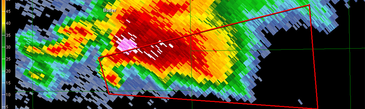
Threats in Motion
One of the new warning methodologies being tested in the NOAA Hazardous Weather Testbed is the “Threats-In-Motion” (TiM) concept. TiM warnings update every minute and move continuously with the path of the storm. TiM has the advantage of providing more equitable lead times for all locations downstream of the hazards and continually removes the warning from areas where the threat has already passed.
Hazardous Weather Testbed
The NOAA Hazardous Weather Testbed (HWT) is jointly managed by NSSL, the NOAA NWS Storm Prediction Center (SPC), and the NOAA NWS Norman Forecast Office (OUN) located at the National Weather Center in Norman, Oklahoma. The HWT is designed to accelerate the transition of promising new meteorological insights and technologies into advances in forecasting and warning for hazardous mesoscale weather events throughout the United States.
FLASH
The Flooded Locations And Simulated Hydrographs Project (FLASH) was launched in early 2012 to improve the accuracy and timing of flash flood warnings. FLASH uses forecast runoff from hydrologic models, geographic information, and real-time high-resolution, accurate rainfall observations from the Multi-Radar Multi-Sensor project to produce flash flood forecasts at 1-km/10-min resolution. FLASH project development continues to be an active collaboration between members of NSSL and the HyDROS Lab at the University of Oklahoma.
- Fact Sheet: FLASH: A tool for better flash flood forecasts (.pdf, 590 kB)
MYRORSS
The Multi-Year Reanalysis Of Remotely-Sensed Storms (MYRORSS – pronounced “mirrors”) combines individual radar data without sources, like weather models and lightning data, for a more complete picture of storms. MYRORSS is a reprocessing of the WSR-88D radar archive through Multi-Radar Multi-Sensor products, to produce an archive of MRMS data for most of the WSR-88D’s lifetime for the entire contiguous United States.
Currently, data have been processed from April 1998 through December 2011. MYRORSS data is high-resolution, three-dimensional, and updates more rapidly, unlike some two-dimensional data sets.MYRORSS provides the capability to create new computer programs for storm analysis and climatologies, or storm climatology studies. Currently, a storm object database created using the MYRORSS data set is being used to develop storm hazard probabilities for use in a PHI prototype tool.