
NSSL Podcast
When Radar Met Wind Farm
Text Transcript
It's time for yet another podcast of “That Weather Show,” brought to you by the NOAA Weather Partners. I'm Angelyn Kolodziej.
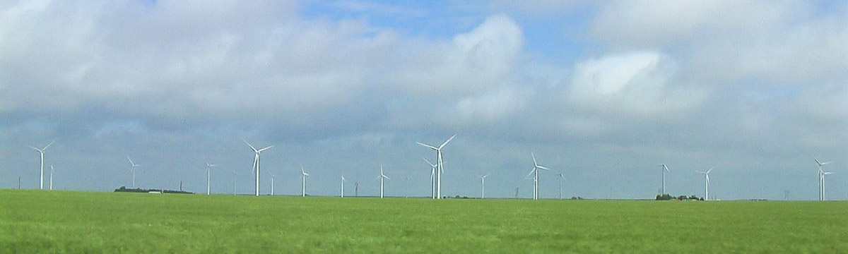
It's always raining near Spearville, Kansas. At least it appears to be when forecasters like Larry Ruthi look at radar displays. Turns out, what looks like thunderstorms are actually rotating wind turbine blades. Wind farms are popping up all over as renewable energy becomes a high priority for the nation. But when they're built near existing radars, new challenges arise for the NOAA National Weather Service.
Larry has worked at the Dodge City, Kansas Weather Forecast Office for more than sixteen years and has plenty of experience with this issue.
Ruthi: “A wind farm on radar looks very much like an echo from a precipitation target or a shower or thunderstorm. As the meteorological target moves through a wind farm – particularly if its close to the radar site – the return from the wind farm and the blades that are rotating around the antennas on the wind farm will mix with the return from the showers of t-storms and its a particular problem if its a severe weather event.”
So what's causing this? Let's step back for a minute and talk about how the radar works. A signal is sent out into the atmosphere. That signal bounces off things like raindrops or hailstones and returns to the antenna. The data are displayed for weather forecasters to use. But the signal also reflects from non-weather objects like trees and mountains. By detecting the lack of motion, radar can easily filter out these non-moving objects. However, wind farms near the radar create a unique challenge.
Ruthi: “The towers don't move but the blades rotate around the tops of those towers. It makes it very difficult for our algorithm to filter those out. So there's a difficult conundrum that we're dealing with there in trying to filter out the non-meteorological targets and still retaining as best we can the returns that we have from the meteorological targets.”
The cluttered displays can be misleading for anyone using the radar data. They can also affect the accuracy of forecasts. Severe weather events like microbursts and tornadoes are sometimes difficult to identify. Estimating rainfall in the area is also a challenge.
To work around this issue, forecasters must know the location and characteristics of wind farms on radar. Scanning at higher altitudes can give forecasters a view above the rotating turbine blades. Additional cooperative efforts may also be possible.
Ruthi: “There's perhaps an opportunity to work together with the wind farm owners and managers to perhaps – for a short period of time each year when severe thunderstorms affect the wind farm area – to shut down the turbines that we would then be able to examine uncontaminated returns throughout the entire radar umbrella and make valid decisions without the problem of dealing with the wind farms.”
As for future wind farm development, it's all about location, location, location. Research shows wind farm impacts generally decrease the farther they are from the radar. Reaching out to developers at early planning stages is a key focus for the National Weather Service. By working together, everyone wins. Larry and other forecasters have a clear view of the weather. Developers build wind farms in strategic places. And the public has access to cheaper, cleaner energy AND the best weather information possible.
Thanks for listening to another podcast of “That Weather Show,” brought to you by the NOAA Weather Partners.