INTRODUCTION
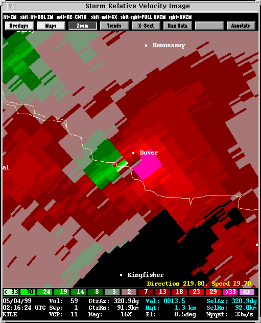
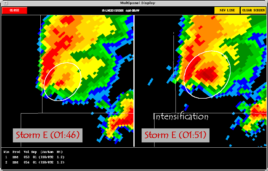
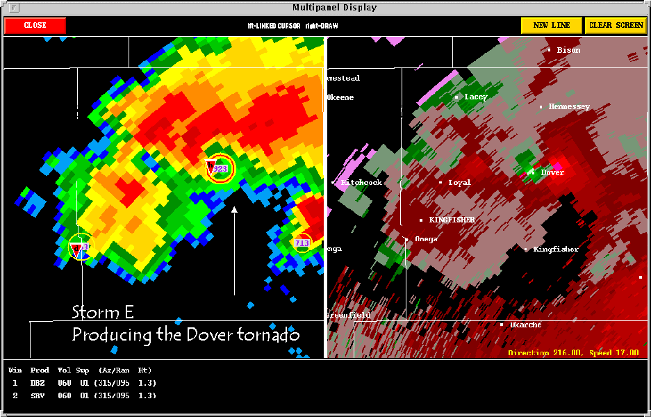
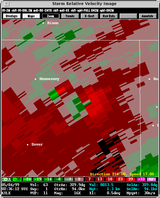
Storm E struck the town of Dover with a tornado that was later rated
F4. This was occurring at the same time that the very large Storm
B tornado was approaching Mulhall. With the May 3rd tornado outbreak
already having been made historical by the Oklahoma City tornado, the storms
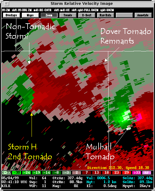
after dark were almost equally intense. Storm E was followed quickly
by another, Storm H, which covered the same ground, producing a few more
tornadoes. Also included below are Storms C and I. They were
shorter lived and less damaging, but
tornadic, nonetheless.
1. THE GEARY-DOVER STORM (STORM E):
2. THE OMEGA-HENNESSEY-MARSHAL
STORM (STORM H):
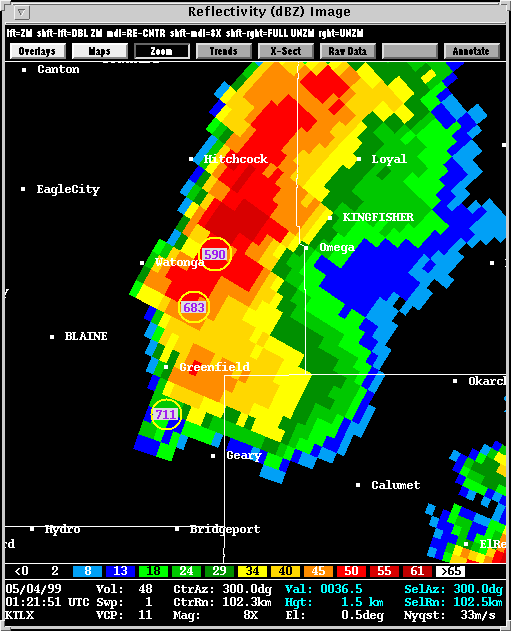
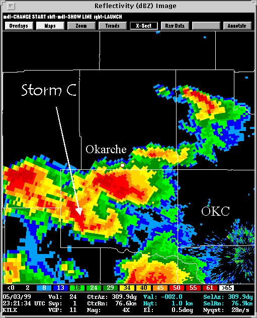
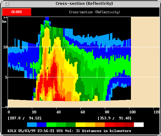
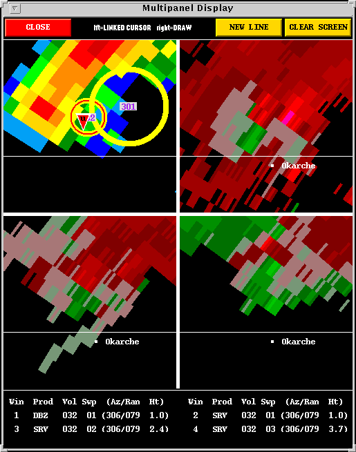
3. THE OKARCHE STORM (STORM C):
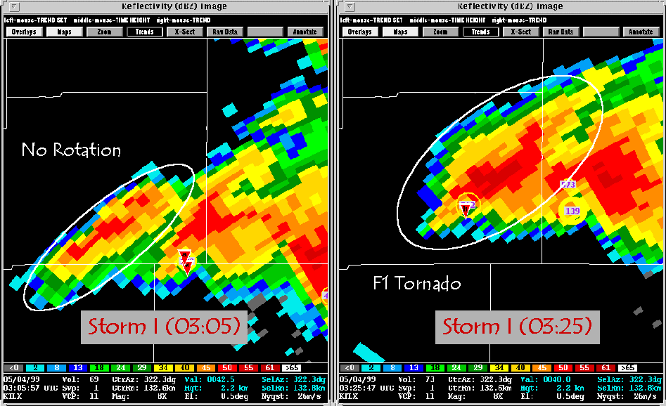
4. THE FAIRVIEW TORNADO (STORM I):
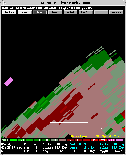
Description: Storm I developed
relatively late in the outbreak. It was the farthest west of the
supercells
that were lined up across Central Oklahoma. Storm I intensified
rapidly, producing an F1 tornado about 15 minutes after the first mesocyclone
is visible in the radar data. However, the storm did not evolve into
a long-lasting threat.
![]()