(Updated 16 August 1999)
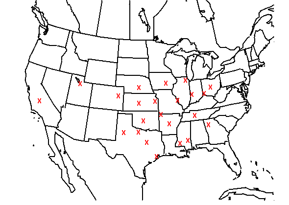
Click on a red x on the map to see the annual cycles of probability of tornadoes (wind and hail will be added later) at those locations (tornado cycle at every point, other variables as time permits). There are four lines on each graph--cycle based on 1980-84, 1985-89, 1990-94, and 1980-94. Remember, the definition of the event is one or more of the specified things during a 24-hour period within 25 miles of the location. The maximum value on the axis is 2.5%, except for the California and Utah points, where it is 0.5%.
Back to climatological animations page.