
NSSL SWAT Case Study - 28 October 1998:
Mini-supercells in Central Oklahoma
The October 28th, 1998, an "outbreak" of mini-supercells occured in
Central Oklahoma. One brief tornado was reported southest of Guthrie
Oklahoma. These storms has radar characteristics of "normal" supercells,
but were dwarfed representations. Presented here are a few radar
images of these storms.
The near-storm enviroment of the day was characterized by very large
shear values but weak instability. A proximity sounding at OUN showed
a rather low EL (~600mb), owing to very low-topped storms (15-20 Kft).
No cloud-to-ground electrical activity was measured with these storms.
Presented here are various WSR-88D radar images from the Norman, OK
(KOUN) radar. Included in some of the images is output from NSSL's Mesocyclone
Detection Algorithm (MDA). A cyan circle represents a 2D vortex
feature (from a constant elevation angle) as detected by the MDA.
-
THE "SE GUTHRIE" TORNADIC STORM:
Description: The particular mini-supercell SE of Guthrie reportedly
produced a brief tornado. Another mini-supercell is also N of Meridian
and may have produced a brief tornado. Note the weak vortex signatures
on the eight-panel
display. Although these signatures have not attained classic
"mesocyclone" strength, they are significant relative to the events of
this day (since tornadoes were reported), and relative to the strengths
of vortices observed on other tornadic mini-supercell storms (see studies
by Burgess et al., and Grant and Prentice). A vertical
cross-section through the storm reveals a bounded weak echo region
(BWER) and the low top (~20 Kft).
-
THE "EDMOND" TORNADO-WARNED STORM:
Description: Other mini-supercells also occurred, with this
one near Edmond, OK. This storm prompted a tornado warning from the
NWSFO Norman, as its radar characterstics resembled the previously tornadic
storm SE of Guthrie. Note the weak
vortices on this storm (and the others nearby), and this storm has
a very prominent
BWER and low-top.
-
SOMETHING ELSE INTERESTING ON THE EDMOND STORM:
Description: Note, on this vertical
cross-section, the "extra" reflectivity patch up to near 37 Kft.
Is this some precipitation from a portion of the storm that "broke through"
the 600 mb EL up to the tropopause?
Finally: Putting these storms in perspective, we borrow
the famous "Three
Supercells" image of the three tornadic storms with varying horizontal
scales. Here's an image
of the Guthrie storm in comparison to the "Three Supercells". Note
that the Guthrie storm is of a horizontal scale between the Phoenix storm
(the smallest) and the Colorado storm (the middle).
SOME IMAGES OF THE LOW-TOPPED CONVECTION FROM NORMAN,
OK
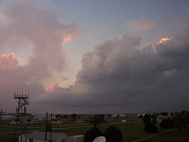
© Greg Stumpf
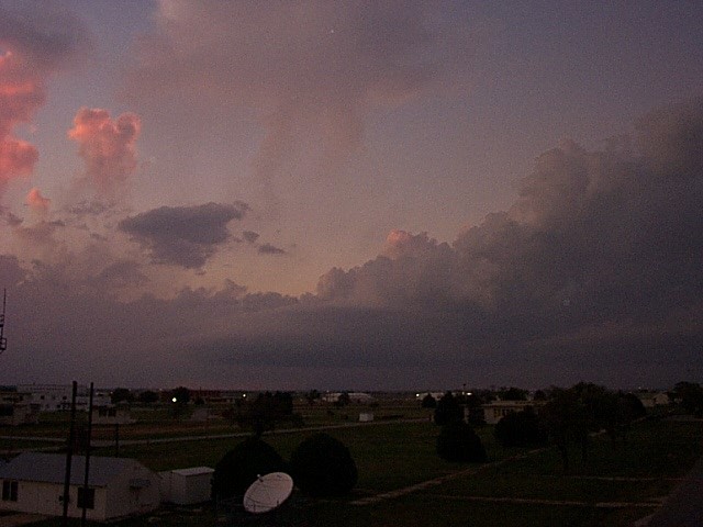
© Greg Stumpf
Back
to NSSL SWAT Case Study Table of Contents Page.