INTRODUCTION
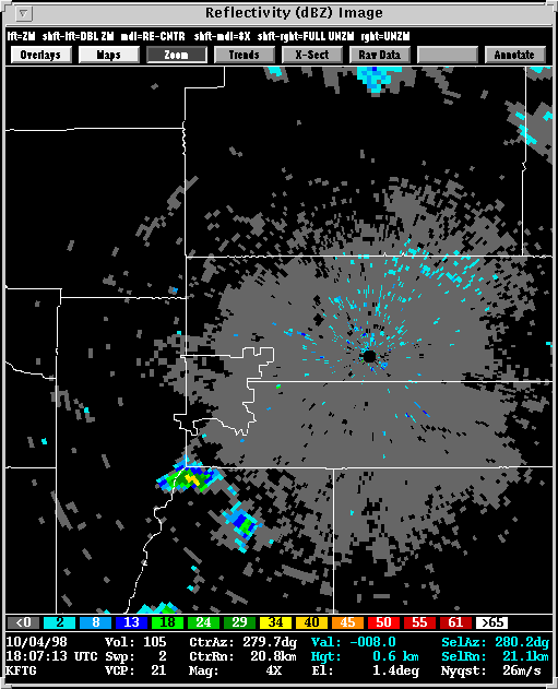
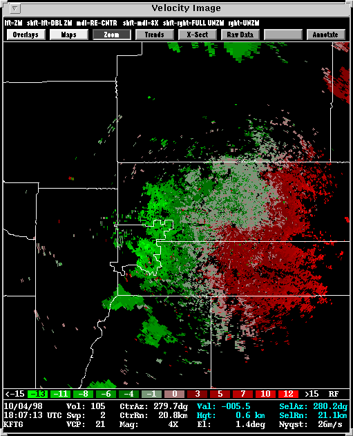
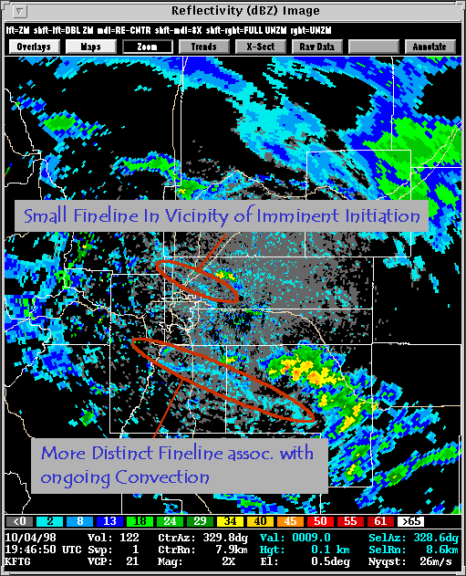
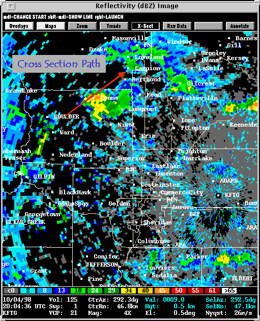
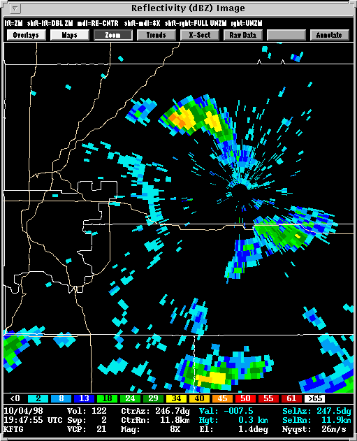
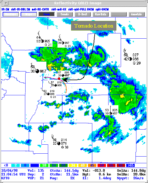
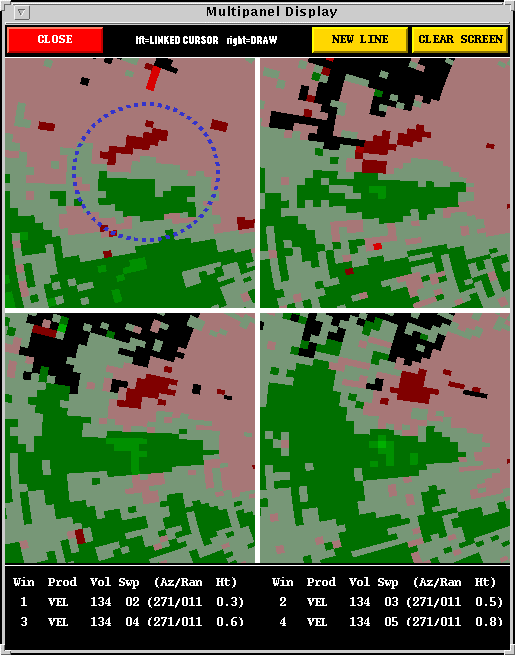
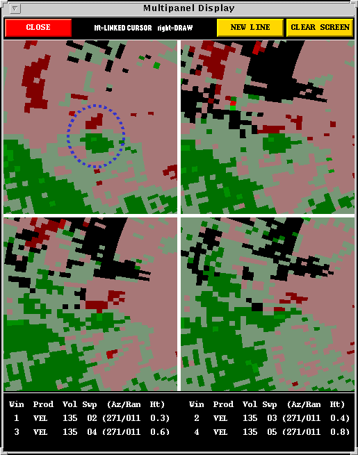
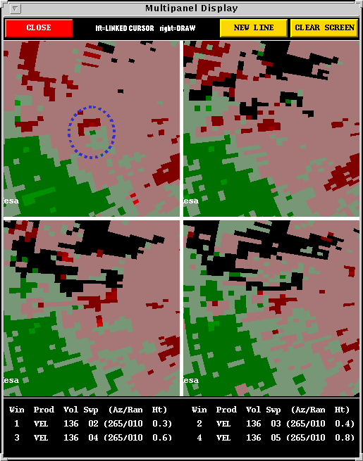
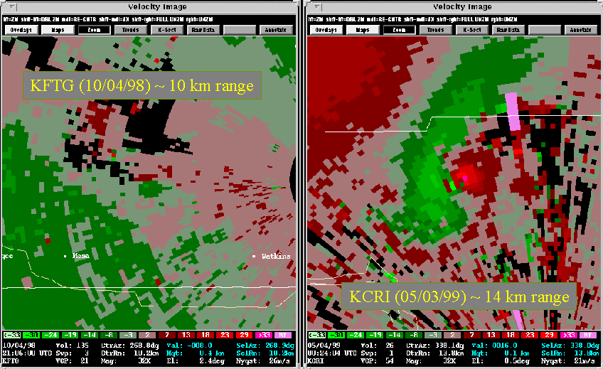
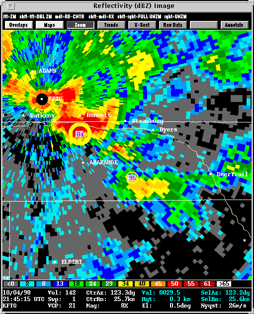
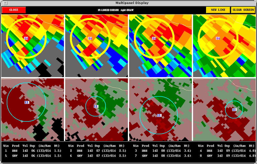
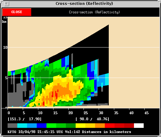
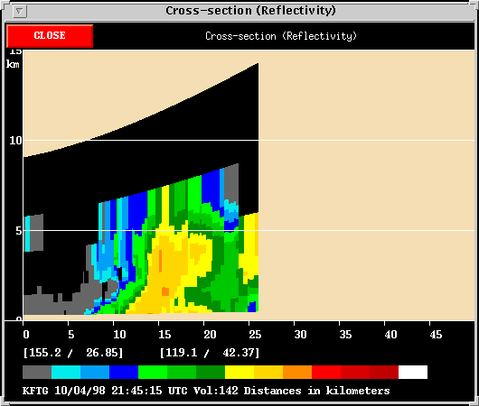
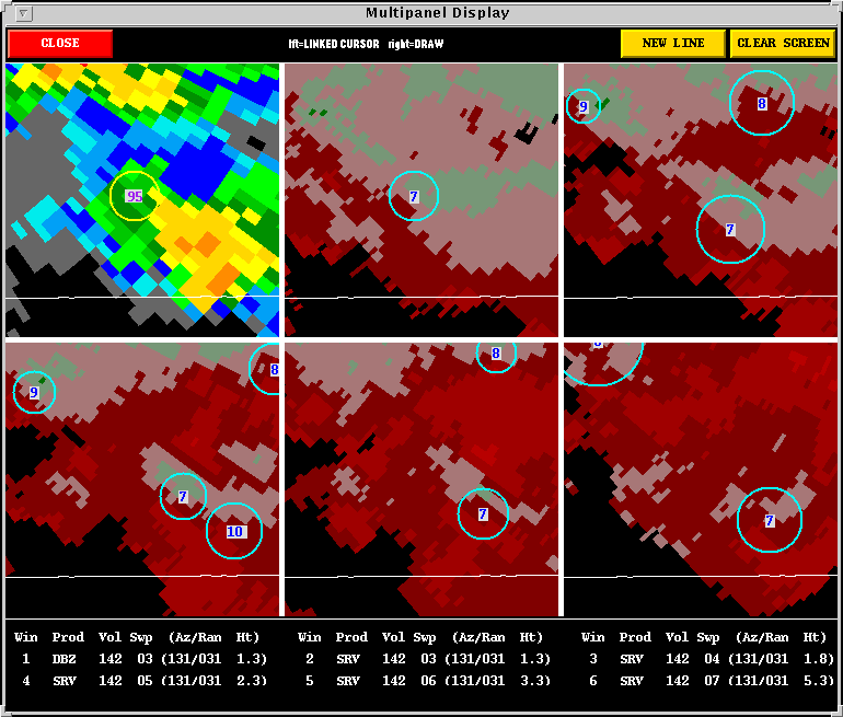
There were some very interesting, low-topped, miniature storms observed near the Denver WSR-88D (KFTG) on October 4th, 1998. A tornado was spotted and video taped east of the Denver International Airport around 3:05 to 3:10 MDT in an area where radar finelines suggested a triple point/intersection of boundaries. Visual as well as radar observations suggest that the tornado was spawned by a supercell. However, this was not a traditional supercell; it was one that challenges the definition of a supercell. There are a plethora of mysteries and complications with this event. In the end, it appears that a very weak yet deep mesocyclone preceeded the tornado by about an hour. If a persistent rotating updraft of any strength is used to define a supercell, then this case fits that definition. Incredibly, though, the rotating updraft failed to produce any significant precipitation whatsoever. Another thunderstorm, some 4 to 5 km to the east matured to produce precipitation and a hook echo. The tornadic rotation was deemed not to be part of the main body of a the precipitating thunderstorm. Following the tornado, the parent circulation was pushed southward along a surging gust front. For a full discussion of this case see the conference paper.
Coincidentally, the largest October tornado outbreak in Oklahoma history was in progress at that time from more traditional supercells with large CAPE (Convective Potential Available Energy). Also, low-topped supercells had occurred the previous day in the Pacific Northwest. These additional case studies are discussed on the SWAT-V case studies page:
October 3rd Pacific Northwest Event
October
4th Oklahoma Tornado Outbreak
![]()
Overview:
Update
03/01/02
RUC II model
output
First
draft of the conference paper on this event